Inicio
Febrero 23, 2018
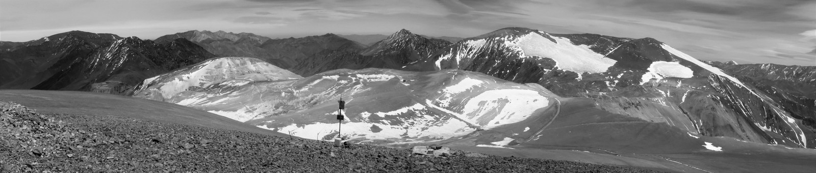
This web site is the repository for downloading and visualizing the data of the Permafrost Favorability Index Map for the Chilean Semi-Arid Andes.
Description
The Permafrost Favorability Index (PFI) map for the Chilean Semi-Arid Andes (29°S-32°S) indicates where permafrost is likely to occur (resolution 30 m x 30 m). The predicted favorability of permafrost occurrence ranges between 0 and 1, where high PFI values indicate most favorable environmental conditions for permafrost existence and low values indicates that permafrost will be present in exceptional circumstances with favorable local conditions.
Conditions highly favorable to permafrost presence (PFI > 0.75) are predicted for 1051 km2 of mountain terrain, or 2.7 % of the total area of the watersheds studied. Favorable conditions are expected to occur in 2636 km2, or 6.8% of the area. Especially the Elqui and Huasco watersheds in the northern half of the study area where a substantial surface portion (11.8 % each) was considered to be favorable for permafrost presence, while predicted favorable areas in the southern Limarí and Choapa watersheds are mostly limited to specific sub-watersheds.
Citation: Azócar, G. F., Brenning, A., and Bodin, X.: Permafrost distribution modelling in the semi-arid Chilean Andes, The Cryosphere, 11, 877-890, doi: 10.5194/tc-11-877-2017, 2017
- Download Manuscript
Online Data Visualization
The PFI can be visualized online a resolution of approximate 150 m on satellite images and terrain basemap; moreover, Mean Annual Air Temperature raster (MAAT) and rock glacier classes can be visualized.
Raw Data
The main files are available for download here.
pfi_andes.sgrd Permafrost Favorability Index (PFI)
maat_andes.sgrd Mean Annual Air Temperature (MAAT) for climatic period 1981-2010
cpsr_andes.sgrd Centered Potential Solar Radiation (CPSR)
rgl_andes.shp Inventory of rock glaciers
Raster files are in SAGA format and vector file in shapefile format. All the data are projected in WGS84 UTM 19 South.
Moreover, the data are available for downloading through Pangea server.Click here to see the data.
Acknowledgements
This research was conducted at the University of Waterloo, Canada, and funded through a CONICYT Becas Chile scholarship awarded to G. Azócar and a Discovery Grant awarded to A. Brenning. We thank the Dirección General de Aguas (DGA) of Chile for providing rock glacier inventories and weather data and for funding the compilation of rock glacier inventories by the authors in an earlier project.
Disclaimer
The data are provided “as is” and the authors make no representations or warranties, express or implied. By way of example, but without limitation, the authors make no representations or warranties of merchantibily or fitness for any particular purpose or that the data will meet your requirements or that the use of the data or documentation will not infringe any third party’s patents, copyrights, trademarks or other rights. Furthermore, the authors do not warrant or make any representations regarding use of the data in terms of correctness, accuracy, reliability, or otherwise or that defects in the data will be corrected. The authors will not be liable for any consequential, incidental, or special damages, or any other relief, or for any claim by any third party, arising from the use of the data.

This work is licensed under a Creative Commons Attribution-ShareAlike 4.0 International License
Contact Information
Guillermo Azócar Sandoval
Email: gazocar@atacamamb.com Atacama Ambiente Santiago, Chile
Alexander Brenning
Email: alexander.brenning@uni-jena.de
Department of Geography and Environmental Management, University of Waterloo, Ontario, Canada
Department of Geography, Friedrich Schiller University, Jena, Germany
Xavier Bodin
Email: xavier.bodin@univ-smb.fr
Laboratoire EDYTEM, Université de Savoie Mont Blanc, CNRS, Le Bourget-du-Lac, France

© 2018 Andes Permafrost